robotics
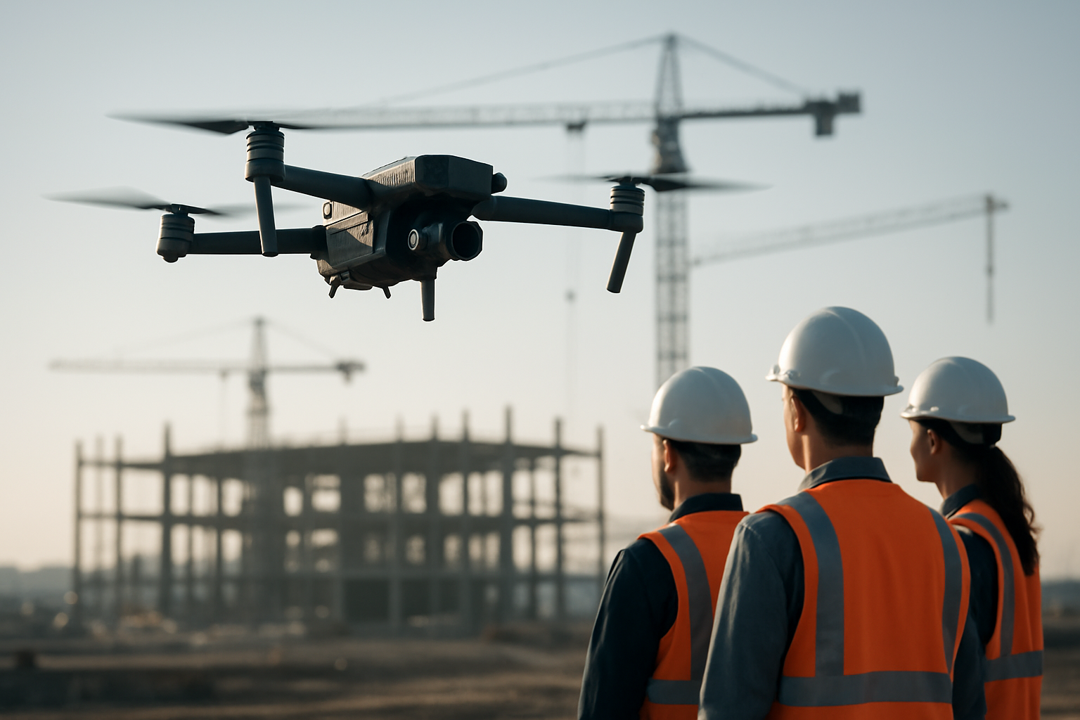
Drone Mapping for Construction Sites
Learn how scheduled aerial mapping turns construction progress into measurable site data and what to specify before the first flight.
Engineering notes from Flypio Robotics: autonomy, airframes, legged and tracked ground robots, and how we build them in the United States.
Learn how scheduled aerial mapping turns construction progress into measurable site data and what to specify before the first flight.
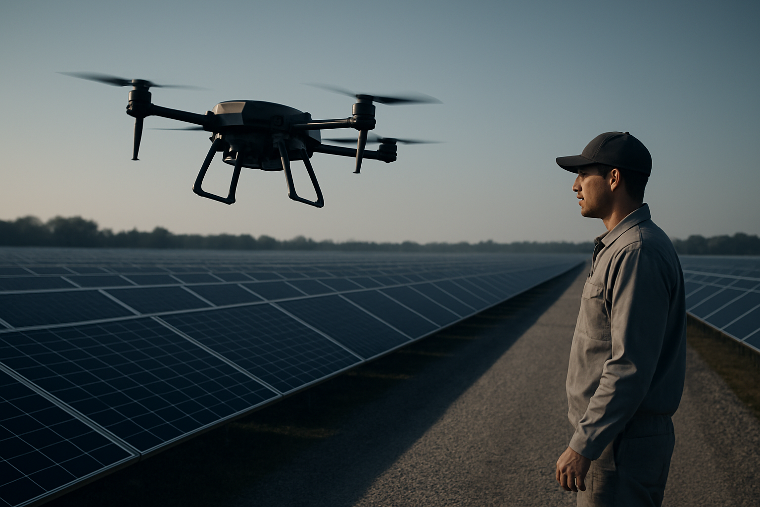
Use this practical drone inspection checklist for solar farms to plan flights, capture thermal and visual data, and create maintenance tickets.
Learn where walking robots fit in plants and utilities, which inspection tasks they handle, and what data they capture for maintenance teams.
Tell us what you need to see, cover or clear. We will show you what our robots can do.