Drone vs Fixed Cameras for Perimeter Security Costs
Compare a drone vs fixed cameras for perimeter security on coverage per acre, response time and cost per patrol hour, with formulas you can apply.
Most perimeter projects start with a camera count: how many units, which lenses, how much cable. That framing hides the three figures that actually decide whether aerial patrol belongs on a site — coverage per acre, response time, and cost per patrol hour. Comparing a drone vs fixed cameras for perimeter security is not a hardware comparison; it is a comparison of two operating models with different cost structures and different blind spots.
Fixed cameras are strong at one job: continuous observation of a known point. Aerial robots are strong at another: moving observation across a large or changing area. Neither displaces the other by default, so the useful question is which coverage already exists and what the uncovered remainder costs.
The structure below lets you run that comparison with your own acreage, response expectations and labor rates.
Coverage per acre: points versus paths
Fixed cameras cover points, not acres
A camera covers a cone whose value depends on resolution, lens, mounting height, lighting and — most often ignored — the attention of whoever watches it. A frequent failure mode is adding cameras until the video wall is full, then finding that a small team cannot monitor dozens of feeds consistently. Coverage on paper grows; coverage in practice levels off at the operator's capacity.
Aerial patrol covers a route, on a schedule
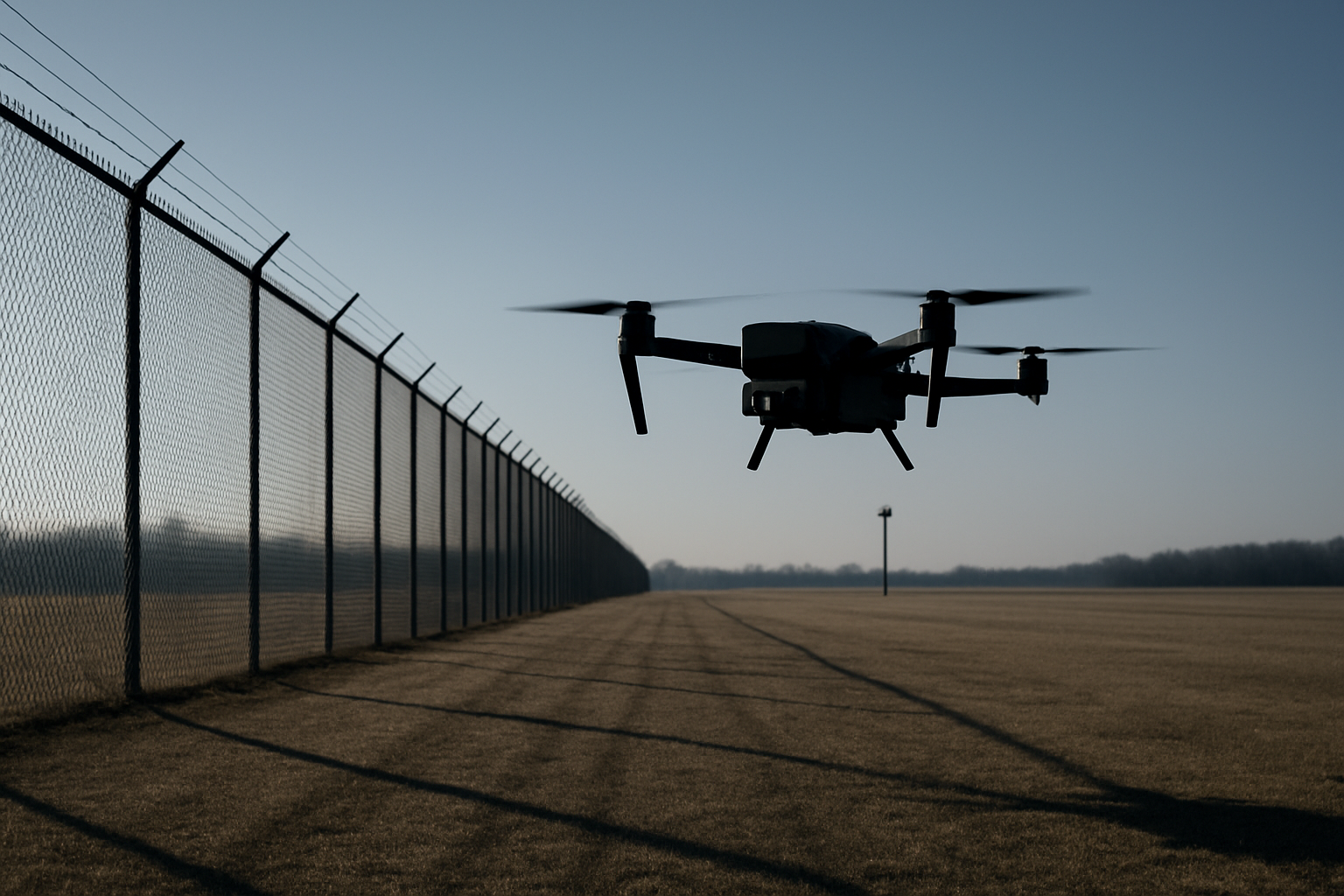
An aerial robot covers a path: it flies a defined line, records what its sensors see, and returns. Coverage per acre therefore depends on endurance, speed and how often the route repeats — not simply on how many aircraft you own. Two sorties over the same fence line is a different product from one continuous camera on a gate. Cameras win on persistence; aircraft win on reach.
The segment neither covers well
Between the gate the cameras watch and the far fence line nobody visits sits most of a typical site. Measure the perimeter in acres and mark which segments have usable coverage after dark. That map, not the camera count, is your baseline.
Response time: detection is not arrival
Split response time into two clocks. Detection latency is the time between an event and someone knowing about it. Arrival time is the time between knowing and something being present at the location.
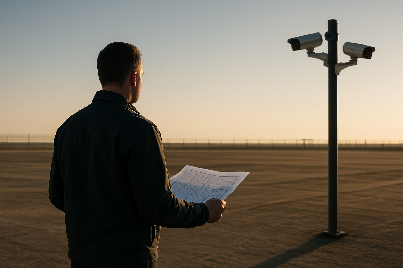
Cameras contribute almost everything to the first clock inside their field of view, and nothing to the second. Arrival comes from people — a guard on foot, a vehicle on a perimeter road — or from a robot. An aerial platform can change the arrival figure because it travels directly toward the point of interest instead of following a road.
The same logic applies to alarm verification. Camera systems raise alerts that consume limited operator attention; a second viewpoint at the alarm location helps a supervisor decide faster whether to dispatch. That is a workflow question before it is a hardware one.
Cost per patrol hour: the figure that actually compares
Two formulas make the comparison honest. Gather every input from your own site.
- Fixed layer: cost per monitored hour = (camera total cost of ownership + monitoring labor + maintenance) ÷ hours per year the site is genuinely watched. Include poles, trenching, network, storage and the people watching; monitoring labor often dominates this total.
- Aerial layer: cost per patrol hour = (aircraft or service cost + pilot and observer time + data handling and integration) ÷ patrol hours actually delivered.
The trap is the denominator. A camera layer running around the clock and an aerial route flown for a few hours a night are not the same hour, and comparing them directly produces a number that collapses in a budget review. Normalize both to hours of coverage on the segments you care about.
Where aerial patrol fits alongside a camera perimeter
Three patterns tend to justify adding an aerial layer:
- Coverage gaps. Large yards and industrial edges where the camera layer stops at the structures.
- Alarm verification. Cameras detect, the aircraft confirms from a second angle, the supervisor decides with better information.
- Changing layouts. Construction phases, seasonal storage or events whose boundaries move faster than fixed infrastructure can follow.
Name the constraints as well: wind, rain and visibility affect flight; airspace rules and privacy obligations vary by jurisdiction; storage and retention need an owner. Flypio's Kestrel aerial platform is developed for teams assessing robotic support in complex environments, and Saltica, its legged terrestrial robot, addresses terrain where wheeled mobility struggles — both are evaluation decisions, not drop-in replacements for a working camera system.
A short evaluation checklist
- Map the perimeter in acres and mark night-time coverage segment by segment.
- Record today's detection latency and arrival time for each segment.
- Put a fully loaded hourly cost on monitoring labor.
- Decide which hours genuinely need coverage — all of them, or the highest-risk window.
- Define what the crew does with the imagery, and who owns the decision.
- List constraints: airspace, weather, privacy, retention, integration with existing recording.
FAQ
Is a drone cheaper than fixed cameras?
It depends on the denominator. Cameras are usually more economical per hour of continuous coverage of a fixed point; aerial patrol can be more economical per acre covered when the area is large, the layout changes, or the alternative is more fixed infrastructure and guard hours. Run both formulas with your own inputs.
Can aerial patrol replace a camera perimeter entirely?
Rarely, and it is usually the wrong goal. Cameras provide persistence; aircraft provide reach and a second viewpoint. Sensible designs keep the camera layer for known points and add aerial patrol for the gaps between them.
What belongs in cost per patrol hour?
Aircraft or service cost, pilot and observer time, data handling, integration with your video system, maintenance and training. Leaving out crew time is the most common way the figure looks better than it is.
Next step
If your perimeter map shows segments without night-time coverage, or your response time depends entirely on someone walking, the comparison is worth running properly. Explore Flypio's robotics platforms and request a demo through flypio.com to discuss your operational needs with the Sales team.