Thermal Drone Inspection: Planning an Electrical Survey
How to plan a thermal drone inspection of substations and switchgear: flight paths, load conditions, and how to read the resulting images.
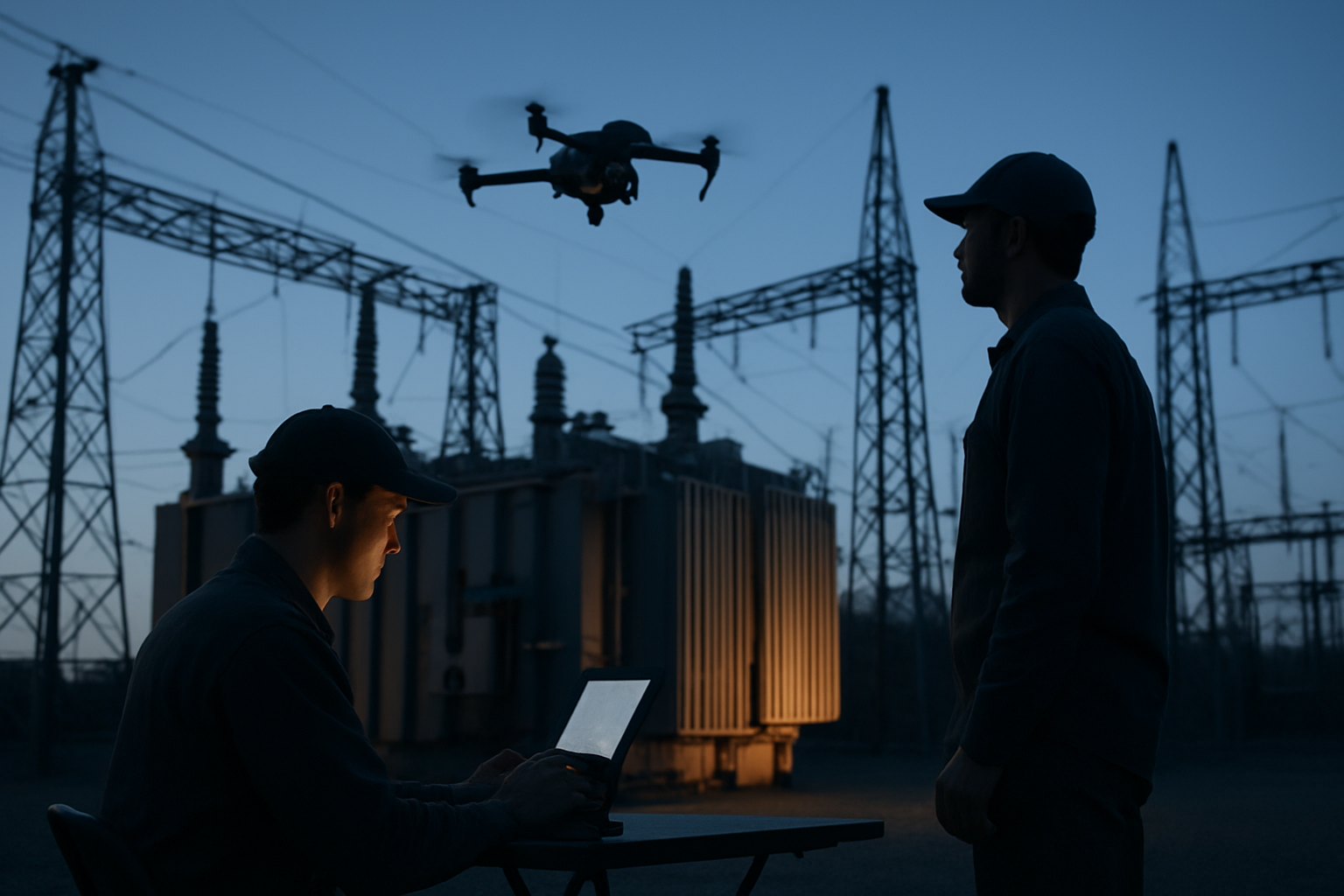
A thermal drone inspection turns a substation or a switchgear lineup into a radiometric record of what is running warm. Equipment stays energized, the aircraft keeps its standoff, and the team leaves with images tied to specific assets. The difficulty is rarely the flight itself. It is planning the survey so the images are comparable, then reading them without confusing sunlight, reflection, or wind for a developing fault.
The decisions below apply to any aerial platform carrying a thermal payload, and to the engineers who will interpret the data. They matter most to operations and maintenance teams weighing aerial robotics as part of an electrical inspection program.
What a Thermal Survey of Substations and Switchgear Shows
Thermal cameras record emitted infrared radiation and convert it to apparent temperature. On electrical equipment, abnormal heat usually comes from resistance: a loose joint, a corroded termination, an unbalanced load, a degrading bushing, a surge arrester no longer behaving as designed. Because the power dissipated across a resistance rises with current, those defects appear as localized warm areas against cooler surroundings.
Common targets are busbar joints, cable terminations, disconnect and switch contacts, transformer radiators, capacitor banks, and control cabinets whose doors can be opened under procedure. Pair every thermal frame with a visible-light frame so a reviewer can tell a hot joint from a hot background.
Plan Around Load, Weather, and Time of Day
Load Decides What Becomes Visible
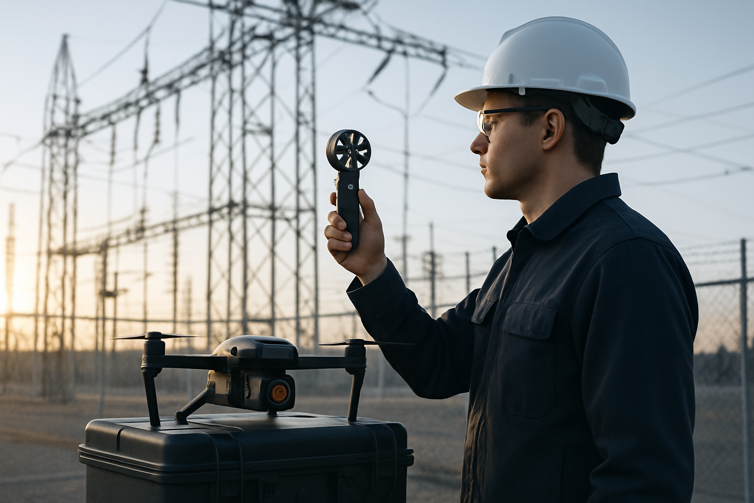
Thermal contrast depends on current. A connection that reads unremarkable at light load can be obvious at peak. Build the survey window around the site's load profile rather than crew convenience, and record load at the moment of capture so the next survey is compared under similar conditions. De-energized equipment produces no resistance heating to see.
Wind, Sun, and Emissivity
Wind cools surfaces and flattens the difference between a warm joint and its neighbours, so log speed and direction. Direct sun heats metal, and polished or galvanized surfaces reflect sky and surroundings, creating apparent hot and cold patches that shift with camera position. Many programs fly at dusk, at night, or before sunrise with load maintained, when solar gain is gone and wind is typically lower. Rain changes surface temperature and emissivity. On shiny conductors and busbars, enter the correct emissivity value in the camera or flag it for the reviewer, because a low-emissivity surface presents a lower apparent temperature than its true one.
Design the Flight Path for Comparable Images
Divide the site into zones tied to assets — one bay, one lineup, one transformer yard — and build a route that images each zone from the same standoff and angle on every visit. Clearance rules come first: approach distances to energized equipment, site permits, and the utility's own procedures set the limits, and the flight plan is built inside them, with geofencing and obstacle awareness configured before takeoff.
Capture each significant target from at least two angles. Nadir views map layout and keep orientation; oblique views at roughly thirty to forty-five degrees reveal bushings, terminations, and connections that a top-down frame hides. Keep standoff consistent within a zone so a joint occupies a similar portion of the frame across surveys. Store original radiometric files rather than exported screenshots: radiometric data lets a reviewer adjust emissivity, distance, and palette months later.
Read the Images: Compare, Then Confirm
A single bright pixel is not a finding. The useful signal is comparative: one phase warmer than the other two, one joint warmer than identical joints on the same run, one cabinet warmer than its neighbours at comparable load. Look for a pattern and a pathway. Heat that starts at a connection and travels along a conductor reads differently from a uniformly warm enclosure.
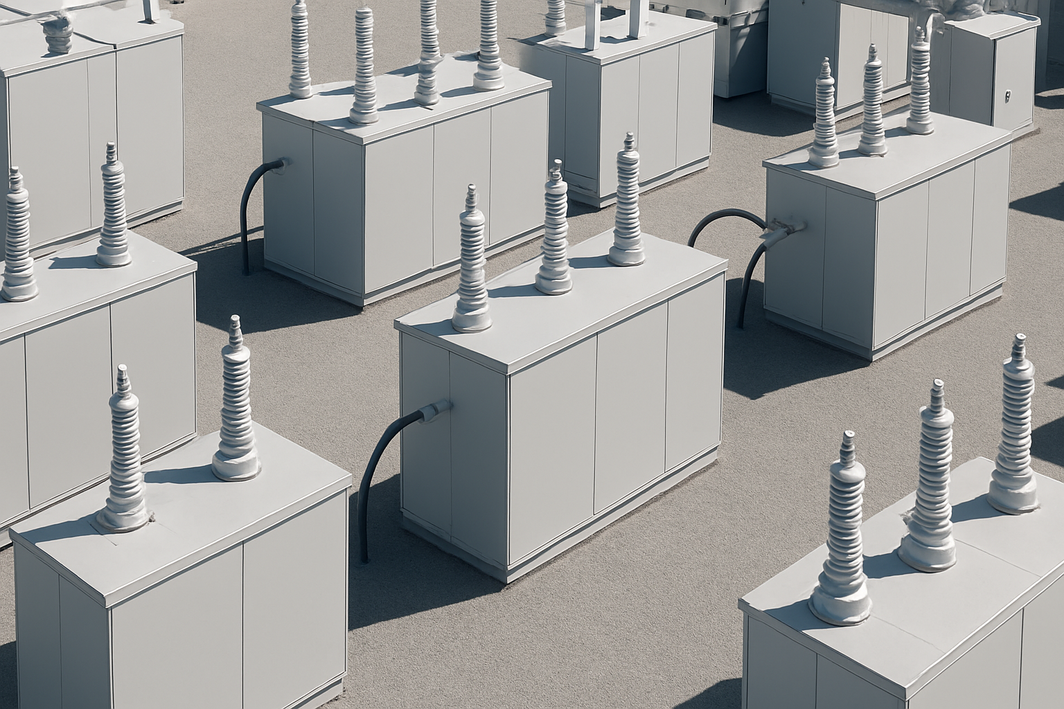
Rule out artefacts before escalating. Re-image a suspect target from a different standoff: a reflection moves with the camera, a real hot spot holds its position. Check whether the surface is wet, whether sun is striking it, and whether load was actually present. Where a cabinet door stayed closed, record that the interior was not inspected; thermal imaging cannot see through a sealed enclosure.
Then route the finding, not the conclusion. Thermography flags candidates for a work order. A qualified person confirms, often with a contact-resistance measurement or a ground-based scan under the site's electrical safety procedure.
Turn the Survey into an Inspection Record
Value comes from repeatability. Use a naming convention based on asset and zone, one folder per bay, thermal and visible frames stored together, and a short report per finding: asset, phase, load and ambient at capture, wind, the image, and a recommended action. A single scan is a snapshot. Two or three across a season show whether a joint is stable or drifting.
Where Kestrel Fits
Flypio develops robotics and AI platforms for industrial, security, and institutional environments. Kestrel, the company's aerial robot, is designed to carry sensor payloads along programmed routes with an operator supervising — a fit for the repeated standoff-and-angle geometry a thermal survey depends on. For routes that include stairs, berms, gravel yards, or cabinet rows a rotor cannot hold position over, Saltica, Flypio's legged terrestrial robot, is designed for scenarios where mobility and terrain adaptability matter. Both platforms support the discipline described above: defined zones, consistent geometry, stored radiometric data, and findings routed to someone who can confirm them.

FAQ
Does equipment need to be energized for a thermal drone inspection?
Yes, if the goal is to find resistance heating. Current is what makes a loose joint warm. De-energized flights can still document layout and condition in visible light, but they will not reveal load-dependent faults.
Can a drone replace a ground-based infrared scan?
It can cover many routes and reach assets that are awkward from the ground, but the two are complementary. Closed enclosures, concealed connections, and confined spaces still call for a person or a ground robot under the site's safety procedure.
What makes a thermal flight unreliable?
Low load, strong wind, direct sun, rain, and inconsistent standoff. Each one either hides a real temperature difference or creates a false one. Recording those conditions at capture is what lets a reviewer judge the images months later.
Explore Flypio's robotics platforms and request a demo through flypio.com to discuss how an aerial thermal survey may fit your electrical inspection program.